

Overview
Properties For Sale
Location
Local Resources
A Historic Fishing Town Surrounded by Natural Beauty
Carrabelle, Florida
Located along Florida's Forgotten Coast, Carrabelle is a historic coastal city where working shrimp boats, world-class fishing, and miles of surrounding wilderness are part of everyday life.
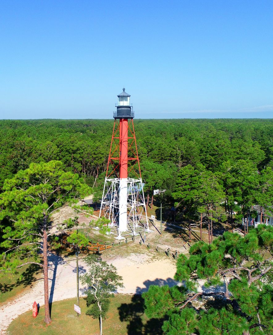
Its maritime heritage remains visible along the Carrabelle River, where commercial fishing boats share the waterfront with recreational vessels. Beyond the harbor, Carrabelle's history comes to life at the Crooked River Lighthouse and Camp Gordon Johnston WWII Museum, while nearby Tate's Hell State Forest offers thousands of acres of protected woodlands, waterways and outdoor recreation.
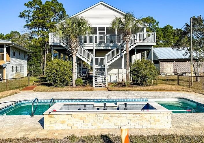
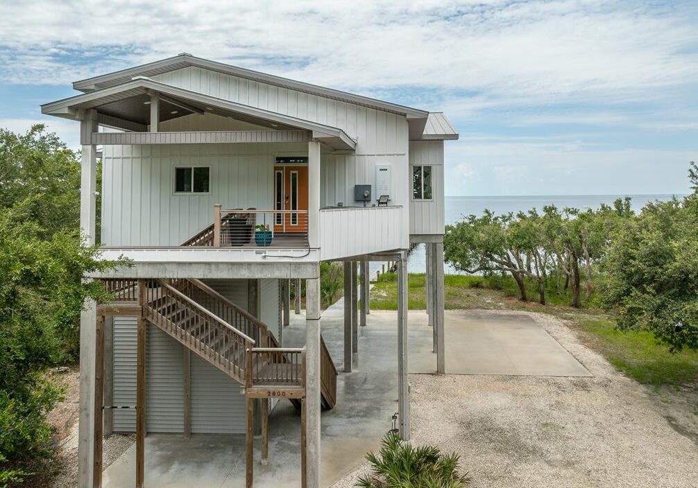
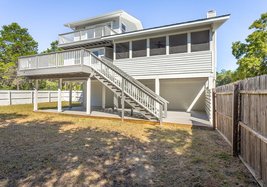
With easy access to the Gulf, nearby Dog Island and some of the region's most productive fishing waters, Carrabelle appeals to boaters, anglers and those who appreciate a quieter coastal lifestyle. From riverfront homes and properties with boating access to established neighborhoods and wooded homesites, the community offers a distinctive blend of waterfront living and natural surroundings.
Quick Facts About Carrabelle, Florida
Population
2,606
Geography
Historic Riverfront City
County
Franklin
Zip Code
32322
Known For
World-Class Fishing
Carrabelle, FL Properties
Where the River Meets the Gulf
Carrabelle is located in eastern Franklin County along U.S. Highway 98, where the Carrabelle River connects with St. George Sound and the Gulf.
Situated approximately 22 miles east of Apalachicola and 55 miles southwest of Tallahassee, the city is surrounded by the natural landscapes of Tate's Hell State Forest, with Carrabelle Beach and the barrier island of Dog Island just offshore.
Its location provides convenient access to boating, offshore fishing, beaches and forest recreation, making Carrabelle an appealing destination for those who want to enjoy both the water and the woods along Florida's Forgotten Coast.